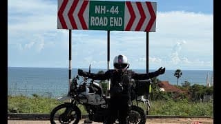
Traffic police publish each evening which vehicles may move next day and in which direction. Light vehicles are told to travel by day.
From jkadworld.com · dated 25 September 2026 · read 28 September 2026
41 facts
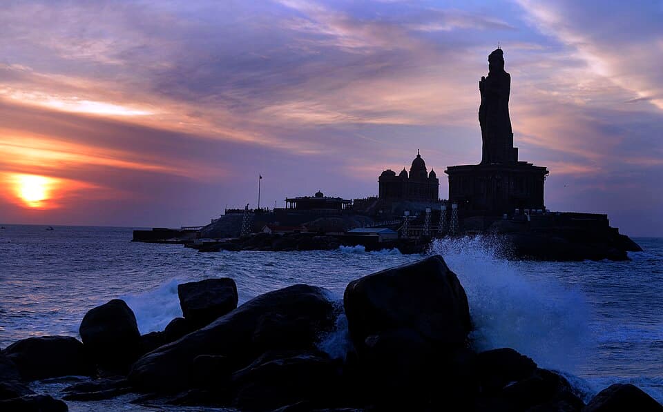
The length of India on one highway, 4,113 kilometres from the Kashmir valley to the southern tip
Traffic police publish each evening which vehicles may move next day and in which direction. Light vehicles are told to travel by day.
From jkadworld.com · dated 25 September 2026 · read 28 September 2026
Motorcycles may not use the ring road's main carriageway. Riders use the service roads or cross the city.
No government order found · from en.wikipedia.org · read 28 September 2026
Sources disagree on whether two-wheelers may use it; no official page was found. From 15 December to 15 February light vehicles are held to 80.
No government order found · from tollguru.com · dated 2025 · read 28 September 2026
Motorcycles pass toll plazas on national highways free. The highways authority denied reports in June 2025 that this would end.
From autocarindia.com · dated 27 June 2025 · read 28 September 2026
Petrol vehicles over 15 years and diesel over 10 count as end-of-life. Reports opened do not say whether two-wheelers are covered. Carry a valid pollution certificate.
From newsonair.gov.in · dated 9 July 2025 · read 28 September 2026
Stones and landslides hit this stretch. Police advise against riding it at night.
From jkadworld.com · dated 25 September 2026 · read 28 September 2026
Fresh snow between Nachlana and the tunnel makes the road slippery in winter.
From thekashmirimages.com · dated 1 February 2026 · read 28 September 2026
The road narrows to one lane at Dawal, and animal herds cross near Banihal.
From jkadworld.com · dated 25 September 2026 · read 28 September 2026
One rider who set out in July met heavy rain in several states, a windstorm and four punctures.
From tripoto.com · dated 7 July 2018 · read 28 September 2026
Dense winter fog brings lower speed limits on the Yamuna Expressway each year.
From news24online.com · dated 13 February 2025 · read 28 September 2026
On 4 October 2026 slides blocked the Srinagar-bound tube at Kaw Morh in Udhampur. Traffic shared the other tube while NHAI cleared the debris.
From kashmirlife.net · dated 4 October 2026 · read 15 October 2026
A trip report takes about three minutes. It fills in mechanics and puncture repair, mobile network, real riding hours and stays for the next rider. Or tap “Still true” on any fact you saw yourself.
Send a trip report