Indian citizens carry identity proof and the fee receipt instead of a permit. A few border villages stay closed. The order itself was not found; news reports it.
From freepressjournal.in · dated 7 August 2021 · read 28 September 2026
37 facts
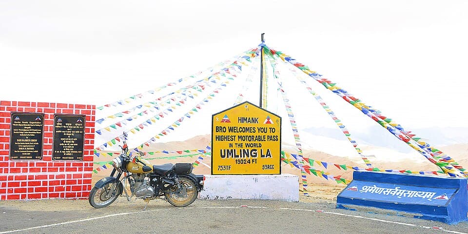
Eastern Ladakh, from Hanle over Photi La to one of the highest roads in the world
| Halt | ATMs | Banks |
|---|---|---|
| HanleJ&K Bank - Small Business Unit | 0 | 1 |
Listed on a public map (Overture Maps). An ATM on the map can be empty or out of order, and no rider has confirmed these yet.
Indian citizens carry identity proof and the fee receipt instead of a permit. A few border villages stay closed. The order itself was not found; news reports it.
From freepressjournal.in · dated 7 August 2021 · read 28 September 2026
One payment covers an environment fee, a Red Cross contribution and a wildlife fee. The official portal does not show the amounts on its landing page.
From lahdclehpermit.in · read 28 September 2026
Needed for Nubra, Pangong, Tso Moriri and similar areas beyond Leh. Some nationalities and passport types must apply to central ministries instead.
From lahdclehpermit.in · read 28 September 2026
Outside rentals may reach Leh but not tour Nubra, Pangong or Hanle. Enforced by the local rental cooperative; no government order found. Own motorcycles are fine with papers.
No government order found · from tribuneindia.com · dated 26 May 2023 · read 28 September 2026
Tourists arriving in Leh are told to rest two days before heading to places such as Khardung La and Pangong. No enforcement method was found.
From leh.nic.in · read 28 September 2026
When paying the fee, the Hanle circuit and the Pangong to Tso Moriri circuit are picked on the form. Reported by a blogger; no official instruction found.
No government order found · from discoverwithdheeraj.com · dated 18 September 2026 · read 28 September 2026
Posts near the border, including Loma and Chushul, may refuse passage on the day for security reasons even when the receipt is in order. No written order found.
No government order found · from discoverwithdheeraj.com · dated 18 September 2026 · read 28 September 2026
Within about 22 kilometres of Hanle, vehicle high beams are to be prohibited and outdoor lighting limited. The reserve boundary has been notified; the notification itself was not found.
From iiap.res.in · read 28 September 2026
Reached from Hanle over Photi La with the ordinary fee receipt naming Hanle. Reported by bloggers and operators; no official page names the pass.
No government order found · from discoverwithdheeraj.com · dated 27 July 2026 · read 28 September 2026
A blogger said in September 2026 that foreigners are generally not allowed. Operator pages say the permit works if it names the Hanle to Umling La route. No order found.
No government order found · from discoverwithdheeraj.com · dated 2 September 2026 · read 28 September 2026
The road onward to Demchok needs special army permission. Civilians return the way they came, to Hanle. No written order found.
No government order found · from discoverwithdheeraj.com · dated 27 July 2026 · read 28 September 2026
Riders reach the pass on ordinary touring motorcycles. No engine size limit or motorcycle ban was found in any source.
No government order found · from discoverwithdheeraj.com · dated 27 July 2026 · read 28 September 2026
The pass is close to 19,000 feet; guides advise two nights in Hanle first and warn of altitude sickness.
From discoverwithdheeraj.com · dated 27 July 2026 · read 28 September 2026
Karu is called the dependable pump, and supply at Nyoma is not to be counted on.
From travelcoffee.in · dated 13 July 2026 · read 28 September 2026
A blogger reports that only postpaid connections from outside work in Jammu and Kashmir and in Ladakh; no official source was found.
From discoverwithdheeraj.com · dated 14 August 2026 · read 28 September 2026
There is no signal on the road from Hanle to the pass.
From discoverwithdheeraj.com · dated 27 July 2026 · read 28 September 2026
Streams and broken gravel on the Photi La side in summer; the surface mixes tar and dirt.
From travelcoffee.in · dated 13 July 2026 · read 28 September 2026
Early May brings snow and slush; the road is usually clear from mid-June.
From travelcoffee.in · dated 13 July 2026 · read 28 September 2026
Fresh snow can close the road without warning late in the season.
From travelcoffee.in · dated 13 July 2026 · read 28 September 2026
 THE REMOTE OFF-ROAD ROUTE TO UMLING LA | EP05SpilTrez · Royal Enfield Himalayan 450Posted 31 July 2026
 Umling La Pass Bike Ride | Pangong to Hanle | Hanle to Umling La Bike Ride | Ladakh Bike Trip | EP11Suurojit PalmalPosted 23 July 2025
 Hanle to Umling La | Riding to One of the World’s Highest Roads 🏍️🏔️Zia MotoPosted 3 October 2026
 This Road Was INSANE! 😱 Hanle to Umling La via Potila PassTravelWithKeshu · Kawasaki KLX 230Posted 9 August 2026
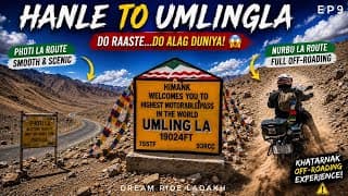 Hanle to Umling La & Nyoma | Photi La 🛣️ vs Nurbu La 💀 | World's Highest Motorable PassSrinivasInMotionPosted 30 July 2026
A trip report takes about three minutes. It fills in mechanics and puncture repair, mobile network, real riding hours and stays for the next rider. Or tap “Still true” on any fact you saw yourself.
Send a trip report