21 km from Hosapete.
Hampi and Badami
Basic page · 55 facts
NH 50
190KM
Hampi and Badami
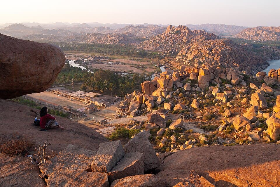
North Karnataka plains, from the ruins of Hampi to the rock-cut temples of Badami, Pattadakal and Aihole
- Highest point
- 2,240 ft
- Best months
- Oct to Mar
- No fuel for
- 33 km
This is a basic page
No rider has reported on this route yet. What is here comes from official and published sources. How far to trust it
Before you leave
On this page
Fuel
36 pumpsHosapete0 kmAihole190 km
From the open map, not yet checked
All 36 pumps were read from OpenStreetMap on 28 September 2026. No rider has confirmed any of them yet.
24 km from Hosapete.
25 km from Hosapete.
27 km from Hosapete.
27 km from Hosapete.
27 km from Hosapete, 1 km off the road.
30 km from Hosapete.
36 km from Hosapete.
Show 28 more pumps
36 km from Hosapete.
37 km from Hosapete.
HP. 38 km from Hosapete.
45 km from Hosapete.
45 km from Hosapete.
48 km from Hosapete.
51 km from Hosapete.
HP. 61 km from Hosapete.
71 km from Hosapete.
74 km from Hosapete.
85 km from Hosapete.
103 km from Hosapete.
104 km from Hosapete.
110 km from Hosapete.
111 km from Hosapete.
111 km from Hosapete.
112 km from Hosapete.
112 km from Hosapete.
114 km from Hosapete.
129 km from Hosapete.
129 km from Hosapete.
130 km from Hosapete.
144 km from Hosapete.
151 km from Hosapete.
153 km from Hosapete.
154 km from Hosapete.
156 km from Hosapete.
157 km from Hosapete.
Rules for motorcycles
2 factsHampi: no private vehicles near the Vittala temple
Not yet checkedMotorcycles stop at a parking area about one kilometre short. Visitors walk or take an electric cart. No government order was found.
No government order found · from praveenmusafir.com · read 28 September 2026 · no rider has confirmed it
Hampi: ticket for the Vittala temple
Not yet checkedThe state tourism office gives about 40 rupees for Indian visitors and says most other temples are free. The temple opens 8:30 am to 5:30 pm.
From karnatakatourism.org · read 28 September 2026 · no rider has confirmed it
Trouble on the road
2 warningsFrom published guides, not from riders
Each warning names the months it applies to. None has been seen by a rider this season unless it says so.
Heat on the plains
Not yet checkedSummer days reach 40 degrees at Badami. Ride early and carry water.
From en.wikipedia.org · read 28 September 2026 · no rider has confirmed it
Monkeys at Badami
Not yet checkedLarge troops live around the caves and town. Keep food and loose items packed away.
From en.wikipedia.org · read 28 September 2026 · no rider has confirmed it
Videos
2 rider videosWatch the date, not the view
Each video shows the road as it was that month. They play on YouTube, under the maker’s own channel.
Hampi to Badami
142 km
Badami to Hampi
142 km
Hosapete to Hampi
13 kmNo video of this stretch yetFilmed it? Send the link. It plays on YouTube, with your name and the month.Add a video
Badami to Aihole
35 kmNo video of this stretch yetFilmed it? Send the link. It plays on YouTube, with your name and the month.Add a video
Not here yet
Mechanics and puncture repair
Mobile network
Real riding hours
Stays
These come from riders, not from us
They appear when riders who have done this route send a trip report. It takes about three minutes.
What a trip report asks
Route, month and bikeNeeded
Riding hours, fuel stops, mechanics, gear, cost, a videoOptional. Fill in what you remember.
Bikes, gear and costs show after 10 trip reportsWith fewer, this would be a handful of opinions, not a pattern.
0 of 10 reports
0 trip reports for Hampi and Badami so far
Also
0 trip reports for Hampi and Badami so far
Ridden it? Send a trip report