At the start, in Guwahati, 1 km off the road.
From the open map · read 6 October 2026
102 facts
Brahmaputra valley of Assam: past Kaziranga to Jorhat, then by ferry from Nimati Ghat to the river island of Majuli
At the start, in Guwahati, 1 km off the road.
From the open map · read 6 October 2026
At the start, in Guwahati, 1 km off the road.
From the open map · read 6 October 2026
At the start, in Guwahati, 1 km off the road.
From the open map · read 6 October 2026
At the start, in Guwahati, 1 km off the road.
From the open map · read 6 October 2026
At the start, in Guwahati, 1 km off the road.
From the open map · read 6 October 2026
1 km from Guwahati.
From the open map · read 6 October 2026
1 km from Guwahati.
From the open map · read 6 October 2026
2 km from Guwahati.
From the open map · read 6 October 2026
2 km from Guwahati.
From the open map · read 6 October 2026
2 km from Guwahati.
From the open map · read 6 October 2026
HP. 2 km from Guwahati.
From the open map · read 6 October 2026
2 km from Guwahati, 1 km off the road.
From the open map · read 6 October 2026
3 km from Guwahati.
From the open map · read 6 October 2026
4 km from Guwahati, 1 km off the road.
From the open map · read 6 October 2026
4 km from Guwahati.
From the open map · read 6 October 2026
5 km from Guwahati.
From the open map · read 6 October 2026
5 km from Guwahati.
From the open map · read 6 October 2026
7 km from Guwahati.
From the open map · read 6 October 2026
8 km from Guwahati.
From the open map · read 6 October 2026
12 km from Guwahati.
From the open map · read 6 October 2026
14 km from Guwahati.
From the open map · read 6 October 2026
23 km from Guwahati.
From the open map · read 6 October 2026
27 km from Guwahati.
From the open map · read 6 October 2026
Indian Oil. 37 km from Guwahati.
From locator.iocl.com · read 6 October 2026
Indian Oil. 74 km from Guwahati.
From locator.iocl.com · read 6 October 2026
Indian Oil. 81 km from Guwahati.
From locator.iocl.com · read 6 October 2026
94 km from Guwahati.
From the open map · read 6 October 2026
97 km from Guwahati.
From the open map · read 6 October 2026
Indian Oil. 110 km from Guwahati, 2 km off the road.
From locator.iocl.com · read 6 October 2026
Indian Oil. 111 km from Guwahati, 2 km off the road.
From locator.iocl.com · read 6 October 2026
Indian Oil. 115 km from Guwahati.
From locator.iocl.com · read 6 October 2026
HP. 117 km from Guwahati.
From petrolpump.hpretail.in · read 6 October 2026
HP. 121 km from Guwahati, 2 km off the road.
From petrolpump.hpretail.in · read 6 October 2026
HP. 122 km from Guwahati, 2 km off the road.
From petrolpump.hpretail.in · read 6 October 2026
Indian Oil. 124 km from Guwahati.
From locator.iocl.com · read 6 October 2026
HP. 140 km from Guwahati.
From petrolpump.hpretail.in · read 6 October 2026
Indian Oil. 148 km from Guwahati.
From locator.iocl.com · read 6 October 2026
Indian Oil. 152 km from Guwahati.
From locator.iocl.com · read 6 October 2026
HP. 152 km from Guwahati.
From petrolpump.hpretail.in · read 6 October 2026
Indian Oil. 155 km from Guwahati.
From locator.iocl.com · read 6 October 2026
Indian Oil. 158 km from Guwahati.
From locator.iocl.com · read 6 October 2026
Indian Oil. 164 km from Guwahati.
From locator.iocl.com · read 6 October 2026
Indian Oil. 165 km from Guwahati.
From locator.iocl.com · read 6 October 2026
Indian Oil. 170 km from Guwahati.
From locator.iocl.com · read 6 October 2026
Indian Oil. 175 km from Guwahati.
From locator.iocl.com · read 6 October 2026
HP. 202 km from Guwahati.
From petrolpump.hpretail.in · read 6 October 2026
Indian Oil. 214 km from Guwahati.
From locator.iocl.com · read 6 October 2026
222 km from Guwahati.
From the open map · read 6 October 2026
233 km from Guwahati.
From the open map · read 6 October 2026
236 km from Guwahati.
From the open map · read 6 October 2026
236 km from Guwahati.
From the open map · read 6 October 2026
237 km from Guwahati.
From the open map · read 6 October 2026
240 km from Guwahati.
From the open map · read 6 October 2026
Indian Oil. 248 km from Guwahati.
From locator.iocl.com · read 6 October 2026
Indian Oil. 251 km from Guwahati.
From locator.iocl.com · read 6 October 2026
Indian Oil. 264 km from Guwahati.
From locator.iocl.com · read 6 October 2026
272 km from Guwahati.
From the open map · read 6 October 2026
277 km from Guwahati.
From the open map · read 6 October 2026
294 km from Guwahati.
From the open map · read 6 October 2026
295 km from Guwahati.
From the open map · read 6 October 2026
At the end of the route.
From the open map · read 6 October 2026
| Halt | ATMs | Banks |
|---|---|---|
| GuwahatiAdda247 Guwahati, Alankit, Allahabad Bank - Pan Bazar Branch, Allahabad Bank ATM, Allahabad Bank Guwahati, Apex Bank ATM | 48 | 88 |
| Between Guwahati and KohoraAssam Gramin Vikash Bank Telahi Branch, Axis Bank, Axis Bank ATM, Axis Bank Branch, Bank of Baroda, Corporation Bank | 9 | 17 |
| KohoraAxis Bank ATM, Axis Bank Branch, Bank of Baroda, HDFC Bank ATM, ICICI Bank, Punjab National Bank | 2 | 4 |
| Between Kohora and JorhatHDFC Bank ATM, ICICI Bank, Punjab National Bank, Punjab National Bank - ATM | 2 | 2 |
| JorhatAlankit, Axis Bank, Axis Bank ATM, Axis Bank Branch, Bandhan Bank, Bank of Baroda | 8 | 21 |
| KamalabariPunjab National Bank | 0 | 1 |
Listed on a public map (Overture Maps). An ATM on the map can be empty or out of order, and no rider has confirmed these yet.
A May 2026 article and an August 2026 guide both describe motorcycles being carried on the government ferries from Nimati Ghat. No official statement or fare table was found.
No government order found · from thebetterindia.com · dated 28 May 2026 · read 28 September 2026
The district website gives these hours for ferries from Nimati Ghat to Kamalabari or Aphalamukh and advises booking ahead. Winter timetables are cut as days shorten and water falls.
From majuli.assam.gov.in · read 28 September 2026
The district website also describes driving in from Lakhimpur through Dhakuakhana or from Dibrugarh over Bogibeel Bridge, and a 15-minute ferry at Dhunaguri Ghat running 7 am to 5 pm.
From majuli.assam.gov.in · read 28 September 2026
The state ferry portal lists Nimati and Kamalabari and sells tickets in advance. Online ticketing began at Nimati Ghat on 27 September 2021.
From negd.gov.in · read 28 September 2026
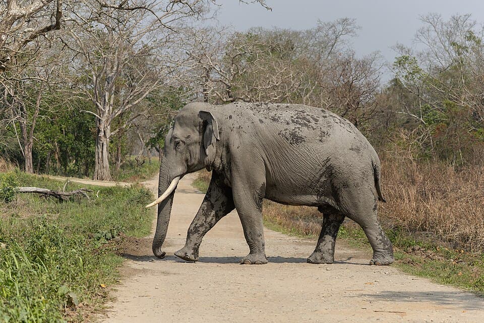
Magistrates cap speed at 20 or 40 kilometres an hour on the highway past the park while animals cross to higher ground. The 2024 order ran until further order.
From india.com · dated 2 July 2024 · read 28 September 2026
A guide says crossings can stop for days in the monsoon when the current is too strong.
From trekgo.in · dated 23 August 2026 · read 28 September 2026
The same guide says winter fog can hold morning departures until visibility improves.
From trekgo.in · dated 23 August 2026 · read 28 September 2026
The 2024 order notes that animals leave the flooded park for the Karbi Anglong hills across the highway, risking collisions.
From india.com · dated 2 July 2024 · read 28 September 2026
Not listed: Guwahati (56 shops on the map), Jorhat (23 shops on the map). This list is for the halts between, where repair shops are few.
Showroom and service centre
From the open map · dated 22 October 2026 · read 8 November 2026
Showroom and service centre
From the open map · dated 22 October 2026 · read 8 November 2026
Not listed: Guwahati (772 places on the map), Kohora (115 places on the map), Jorhat (113 places on the map). This list is for the halts between, where rooms are few.
Hostel
From the open map · dated 22 October 2026 · read 8 November 2026
Hotel
From the open map · dated 22 October 2026 · read 8 November 2026
Campsite, 2.8 km off the road
From the open map · dated 22 October 2026 · read 8 November 2026
Lodging
From the open map · dated 22 October 2026 · read 8 November 2026
Cottage, 1.9 km off the road
From the open map · dated 22 October 2026 · read 8 November 2026
Cottage, 1.9 km off the road
From the open map · dated 22 October 2026 · read 8 November 2026
Campsite, 1.9 km off the road
From the open map · dated 22 October 2026 · read 8 November 2026
Bed and breakfast, 1.9 km off the road
From the open map · dated 22 October 2026 · read 8 November 2026
Resort, 1.1 km off the road
From the open map · dated 22 October 2026 · read 8 November 2026
Hotel, 1.9 km off the road
From the open map · dated 22 October 2026 · read 8 November 2026
Hotel, 1.9 km off the road
From the open map · dated 22 October 2026 · read 8 November 2026
Cottage, 2.2 km off the road
From the open map · dated 22 October 2026 · read 8 November 2026
A trip report takes about three minutes. It fills in mobile network, real riding hours, bikes riders took and what the trip cost for the next rider. Or tap “Still true” on any fact you saw yourself.
Send a trip report