Skip to the page
M
Meel

Arunachal: Ziro, Mechuka, Anini and Walong

Basic page · 38 facts

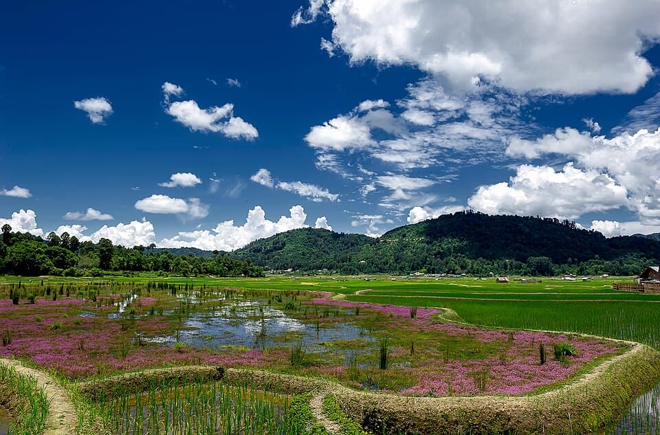
The Ziro valley in summer, on the Arunachal: Ziro, Mechuka, Anini and Walong route
The Ziro valley in summerPhoto: Arunachal2007 · CC BY-SA 4.0 · Wikimedia Commons · resized
NH 13
1,549KM

Arunachal: Ziro, Mechuka, Anini and Walong

Central and eastern Arunachal Pradesh: Ziro and Mechuka, then the Dibang valley to Anini and the Lohit valley to Walong

Usual days
13
Highest point
8,710 ft
Usually open
Late Oct to early Nov, and Apr to May
No fuel for
211 km
This is a basic page
No rider has reported on this route yet. What is here comes from official and published sources. How far to trust it
Is it open? Where to check today4 official sources · we link, we do not guess

Save Arunachal: Ziro, Mechuka, Anini and Walong to this phone?

It will open with no network. You get every fact with its date, the fuel check, the altitude plan and the packing list.

  • Saved 38 facts and 3 tools
  • Not saved The videos need a network
Saved facts do not update themselves
Open this page once more while you still have signal, on the morning you leave.

Before you leave

Not here yet

Mechanics and puncture repair
Mobile network
Real riding hours
Stays
These come from riders, not from us
They appear when riders who have done this route send a trip report. It takes about three minutes.

What a trip report asks

Route, month and bikeNeeded
Riding hours, fuel stops, mechanics, gear, cost, a videoOptional. Fill in what you remember.
Bikes, gear and costs show after 10 trip reportsWith fewer, this would be a handful of opinions, not a pattern.0 of 10 reports

0 trip reports for Arunachal: Ziro, Mechuka, Anini and Walong so far

Also

0 trip reports for Arunachal: Ziro, Mechuka, Anini and Walong so far

Ridden it? Send a trip report